Hiking Devil’s Bridge | Sedona, Arizona

Hiking Devil’s Bridge| Written by Brian Callender | Photography by Julie Boyd

The hike to Devil’s Bridge in Sedona is a popular, short excursion that leads to a heavily photographed natural bridge. An arch formed below the bridge, is the largest naturally occurring one of it’s kind in Sedona. Located just twenty minutes outside of Sedona, and surrounded by beautiful red rocks, hiking Devil’s Bridge is a must-do!
Hiking Devil’s Bridge: Hike Details
Starting Elevation: 4,434 ft.
Distance: 4.37 miles via the Mescal-Chuckwagon Trail
Elevation Gain: 673 ft.
Hike Type: Out and back, day-hike
Difficulty Level: Moderate
Date Hiked: December 29, 2018
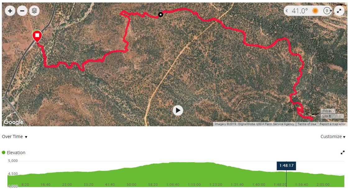
Hiking Devil’s Bridge: Getting There
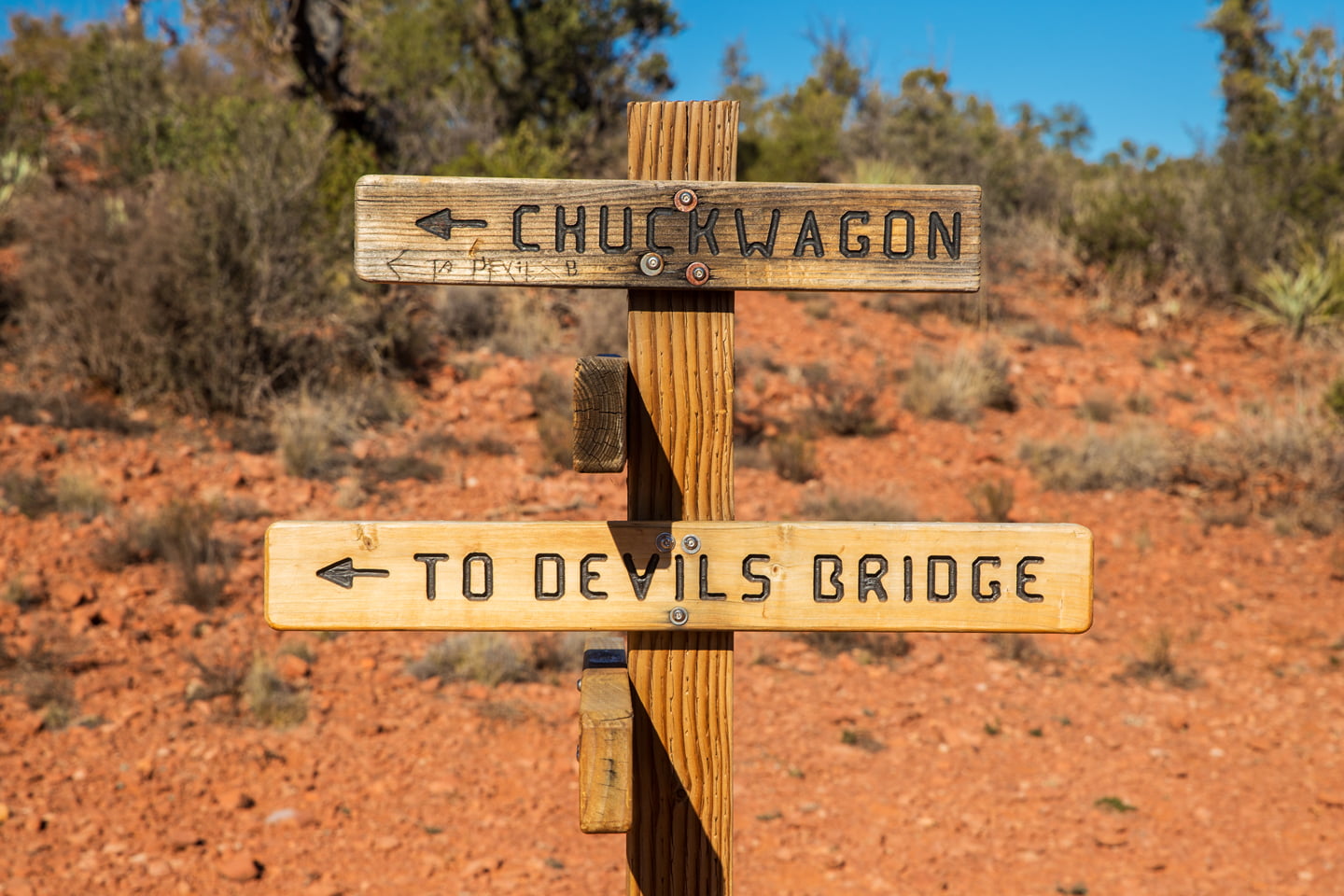
From downtown Sedona, head south on 89A for 4 miles and then turn right at Dry Creek Road. At this point, unless you have a high clearance vehicle, you will see countless cars parked on the side of the road. There is a small parking lot, if you arrive early enough in the day (our standard is before 9:00 a.m.) just off of Vultee Arch Road.
We arrived just after lunch time and the whole area was swamped with cars. Although we had rented a Jeep for this trip, we weren’t exactly sure what to expect, and opted not to drive down the high clearance road (next time we will!). Having no luck finding a place to park close to the trailhead, we decided to head to an alternate trail that Julie had read about when researching the hike.
Continuing along Dry Creek Road (which becomes Boynton Pass Road after the junction), we turned right at Long Canyon Road and found plenty of parking for the Mescal Canyon Trailhead. Note: we visited in winter, but assume this area will be very busy during the summer as well.
Hiking Devil’s Bridge: The Hike
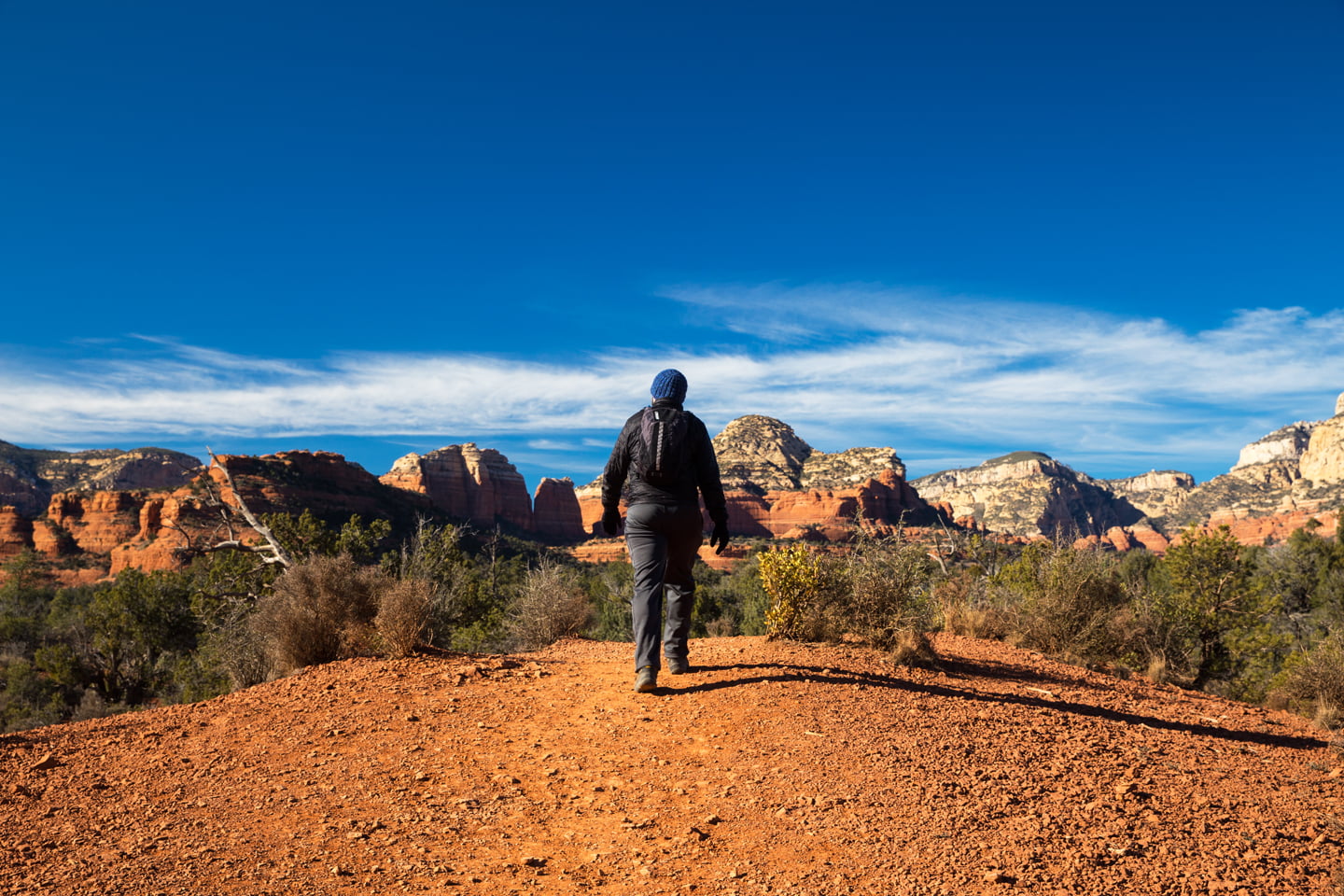
Hiking Devil’s Bridge from the Mescal Canyon Trailhead adds another two miles, round trip to the hike, making this an approximately 4 mile trek. Since it was still early in the day, and the hike is easy, we had no qualms about adding in a little extra distance, particularly if that meant avoiding a portion of the crowds. Hiking the Mescal-Chuckwagon Trail is easy as it is well marked, and well traveled. Views of the famous red rocks are prevalent throughout this hike, and it was particularly nice to see portions of the mountains with a light dusting of snow.
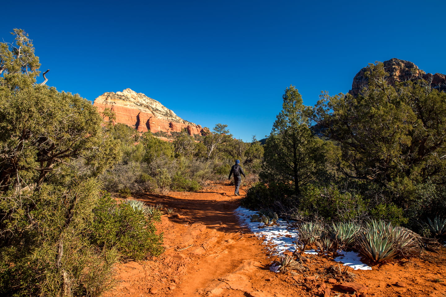
After a mile, the hike connects with the main Devil’s Bridge Trail and we quickly said goodbye to our solitude. There is a small area to park at this junction, and we saw several Jeeps and other high clearance SUVs parked here. Additionally, there are Jeep tours that head down this way, and we saw a few of the hard-to-miss pink ones headed down the dirt road.
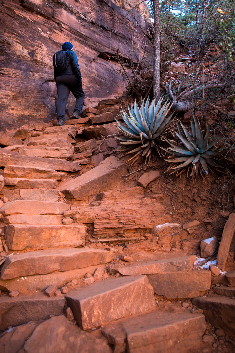
From the junction, the last portion of this trail is a gradual ascent to the Devil’s Bridge, which includes some light climbing on rocks. While hiking Devil’s Bridge is certainly not a difficult, we rate it as moderate due to the ascent on the latter part of the trail.
.
Devil’s Bridge
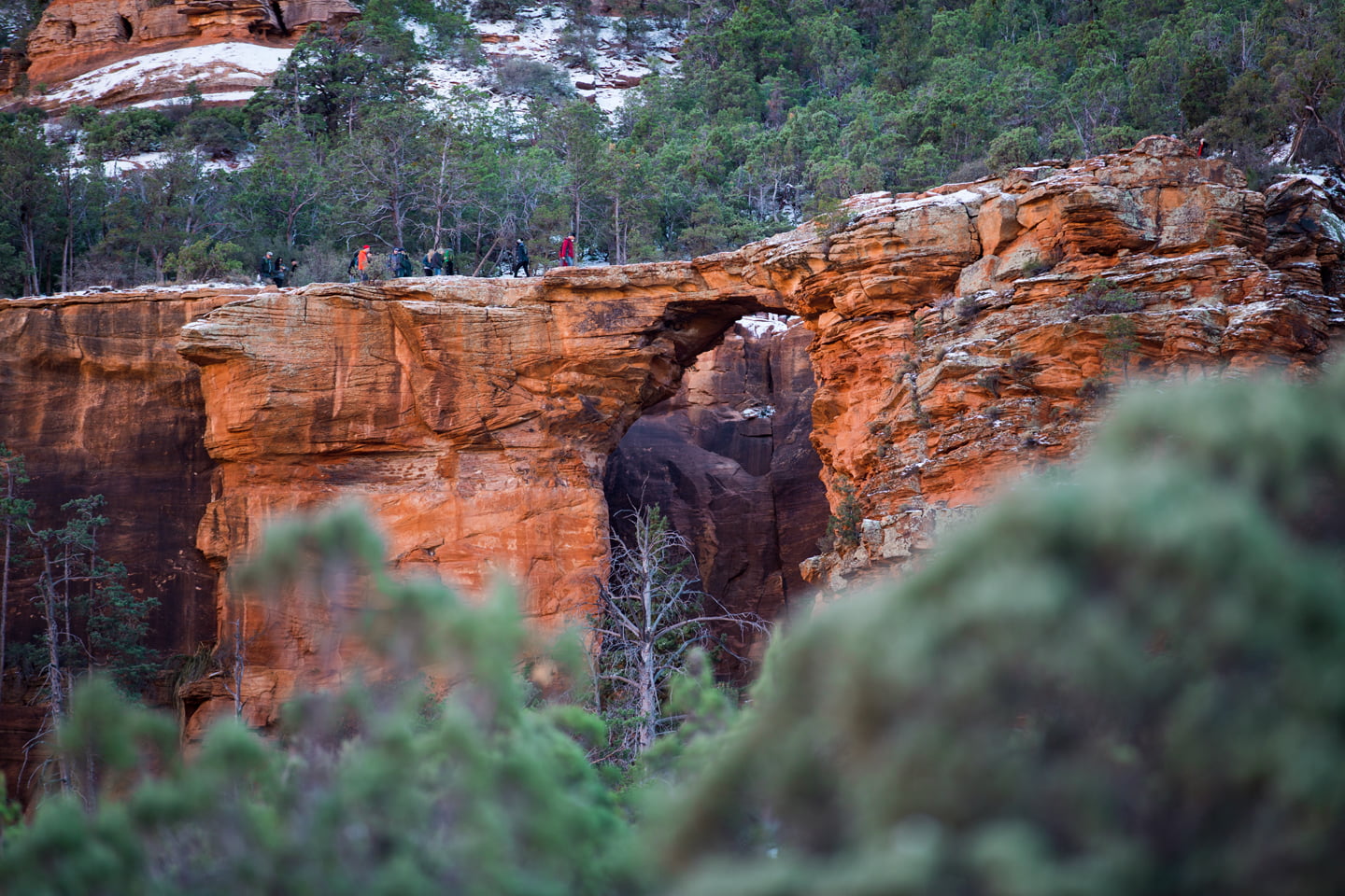
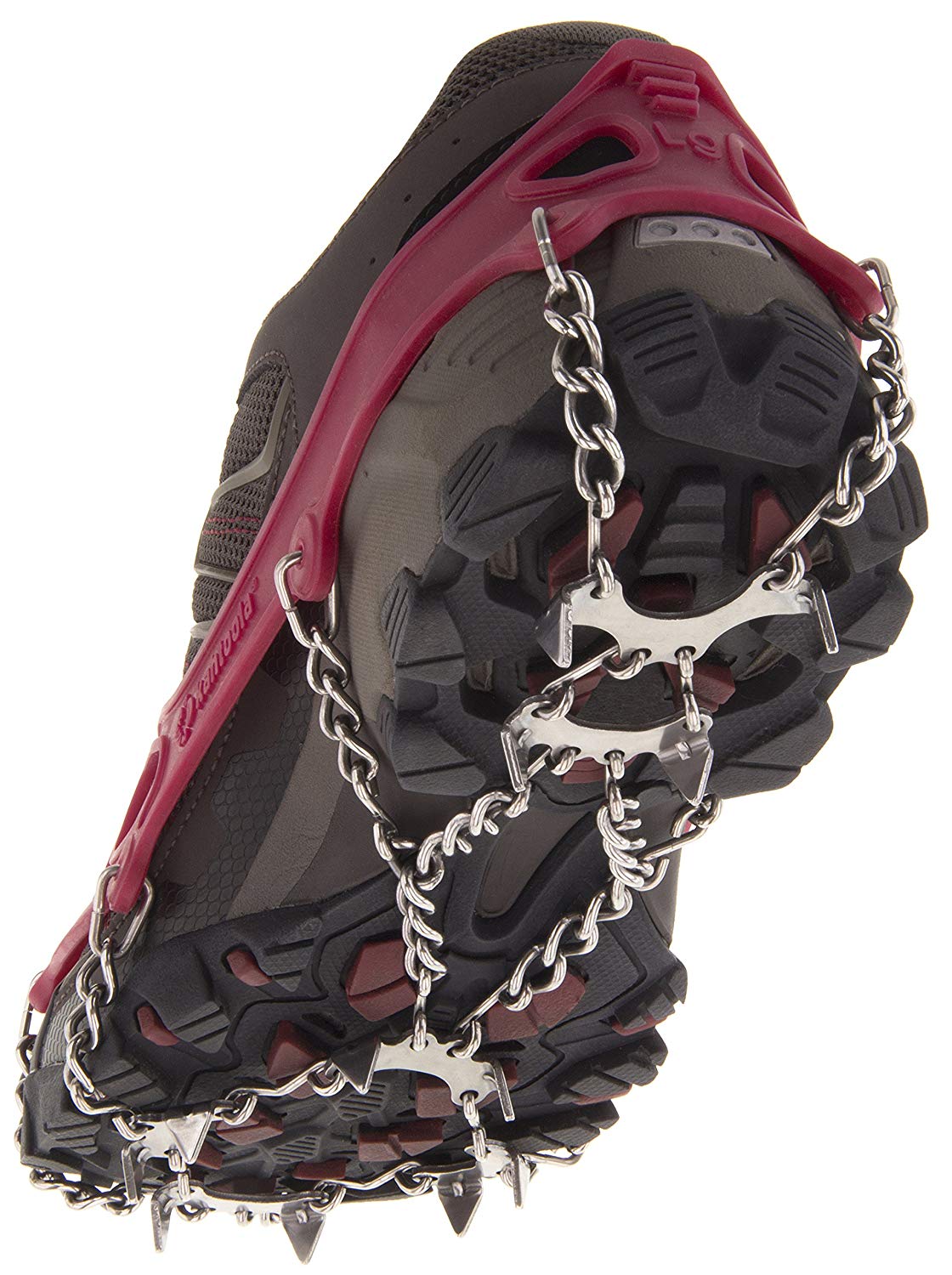
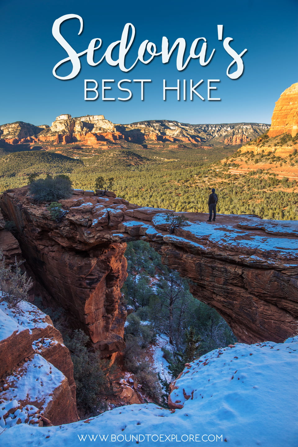
Following the short climb to the top, we were greeted by a snowy and icy walk out to the bridge. Several people we had encountered as they were descending pointed the conditions out to us, and we immediately regretted leaving our microspikes in the car. Even in the early afternoon, the bridge was almost entirely in shadows, and with the cooler temperatures and recent snow, it made sense to us that the conditions were treacherous.

Despite the conditions, we saw plenty of people slipping and sliding their way out to the bridge for the quintessential Instagram photo. I cautiously walked out to the bridge, fear of heights firmly in the back of my mind, but found that the bridge wasn’t as narrow as it appeared from a distance. Julie snapped my photo and I quickly retreated back the way I came.
If you plan to visit in the winter, exercise caution when walking out to the bridge, as the drop off on either side is a long one. I had to wait my turn to walk out to the Devil’s Bridge and can only imagine how insanely busy this place gets during the summer.

After spending a few minutes enjoying the views, we turned around and headed back towards the car, taking extra caution on the slippery parts of the trail. Back on the ground, we made the easy trek back across the junction and along the Mescal-Chuckwagon trail. As had been the case before, we only saw a handful of people on this part of the hike, and otherwise enjoyed a nice amount of solitude. The next time we’re in Sedona, I know we will plan to come back here again and get a much earlier start!
Have you been to the Devil’s Bridge? Let us know what you think in the comments!
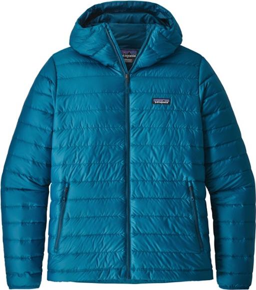
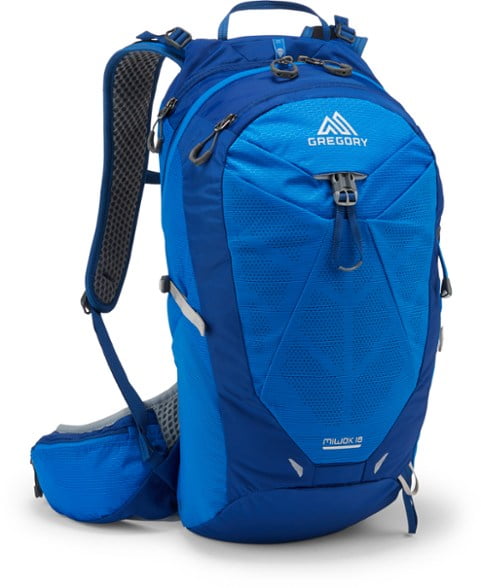
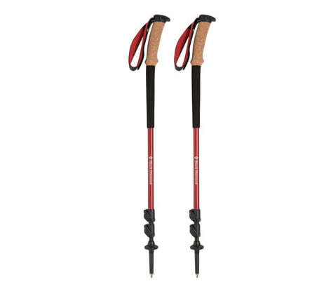
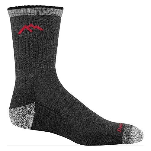
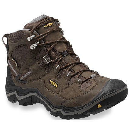
Shop Our favorite Gear for this hike:



Beautiful, while living in Flagstaff, Sedona and Oak Creek were our favorite get away day trips. Just west of there is another gorgeous hiking area Sycamore Canyon.
It is such a beautiful area, and we definitely want to return to hike more. Maybe next winter!
Oooh what a beautiful bridge! I don’t think I’d dare step out onto it without microspikes! We have started leaving them in our bags on all walks (just in case…) I often find I need them up high in the mountains, but I would not have expected to need them somewhere so desert-y!
Your photos are gorgeous anyway. 😀
Thank you Josy! It is a really beautiful area, especially when covered in a dusting of snow.