
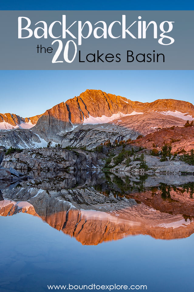
Backpacking the 20 Lakes Basin | Eastern Sierra

20 Lakes Basin | Written by Brian Callender | Photography by Julie Boyd

Backpacking 20 Lakes Basin: Hike Details

Starting Elevation: 10,000 ft. (trailhead official elevation, though my Garmin had us at 9,600)
Distance: 9.5 miles (including a few wrong turns and some scouting near camp)
Elevation Gain: 1,161 ft.
Hike Type: Overnight
Difficulty Level: Difficult
Food Storage: Bear boxes are located in the parking area for the lake. Any scented items that are not coming along on the hike with you must be placed in the bear lockers. Food and additional scented items on your backpacking trip must be stored in a bear canister.
Permit: Yes, for overnight trips. The trail is non-quota, but you are still required to purchase a permit through recreation.gov. If permits are unavailable, contact one of the Inyo National Forest Ranger Stations.
Date Hiked: July 1-2, 2020
Getting to the Trailhead

Saddlebag Lake is the starting point for the 20 Lakes Basin trail and it is located just outside Yosemite’s eastern entrance. A mostly dirt road leads to a parking lot for overnight hikers (on the right). For day use, you can continue on closer to the lake. We appreciated having clearance on the dirt road, but it is not necessary.
Tioga Pass (Highway 120)
Coming from the Bay Area, the easiest way to reach the trailhead is to drive through Yosemite along the Tioga Pass. You will exit the park on the east side and turnoff for Saddlebag Lake is just past Tioga Lake on the left. Driving through the park does require paying an entrance fee, so it’s best if you already have a National Park Pass as we do.
For visitor’s in 2020, be sure to check out our post on Yosemite and their reservation process.
Sonora Pass (Highway 108)
An alternative for reaching 20 Lakes Basin from the Bay Area is to take the Sonora Pass. This route allows you to bypass Yosemite and the entrance fees associated with traveling through the park. The Sonora Pass adds 40 miles and approximately 30-60 minutes to your drive as the road is windy and north of Yosemite.
Highway 395
Arriving from Southern California, the route traveling north on Highway 395 is what we would consider the scenic route. After leaving Los Angeles and the subsequent valley, the drive up 395 parallels the Eastern Sierra and has incredible views throughout. You won’t have to pay an entrance fee for Yosemite on this route, but we highly recommend visiting the park during your visit.
Backpacking 20 Lakes Basin

The trail begins at 9,600 feet and we followed the east side of the lake, going counterclockwise. We had read this side was more scenic and less rocky. Though we still walked over our fair share of rocks along this route, it’s mostly flat, gaining just under 200 feet in the first 2 miles. The trail is mostly exposed in those first two miles and you’ll pass the end of the lake at that point.
.
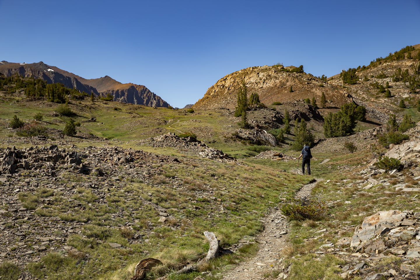
At the 2.25 mile mark, you’ll have just entered the Hoover Wilderness and here the trail begins to climb as it moves away from Saddlebag Lake.
2.7 miles, we arrived at Hummingbird Lake which was green and crystal clear from the shore. Heading over to the northeast side of the lake, the views looking back to the southeast are of beautiful snow dusted peaks.

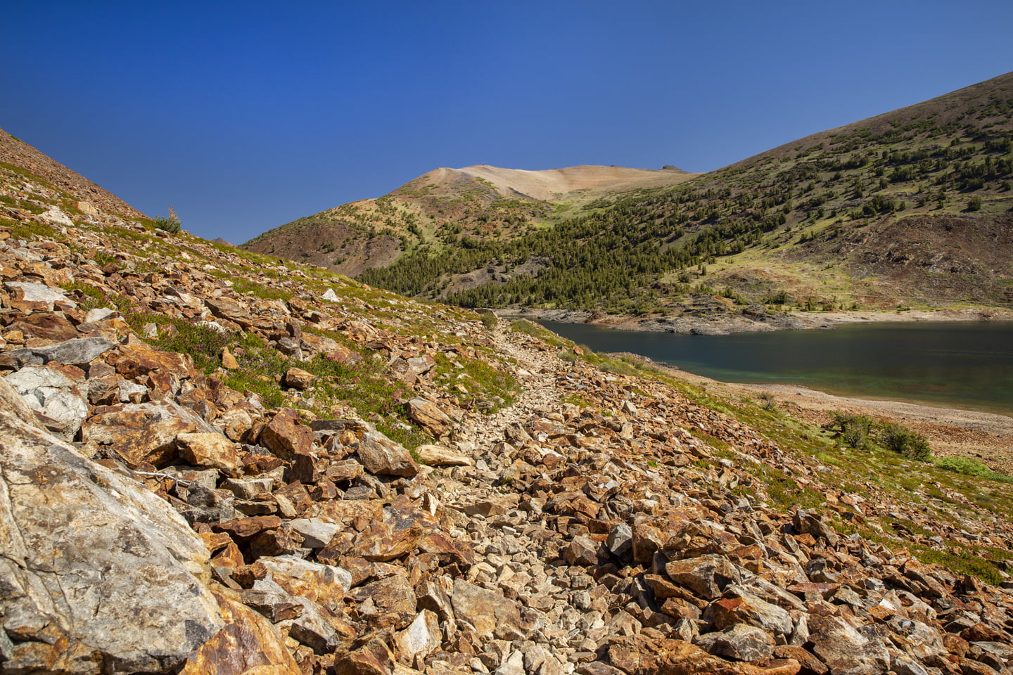
Continuing along, the first views for Lake Odell come into focus as you climb Lundy Pass around the 3.25 mark. The lake is a nice shade of green, but not especially scenic or photogenic from the trail. Unbeknownst to us at the time, this section would continue a theme of rocky landscape for much of the rest of the trip.

After passing Lake Odell, we began to descend down towards Lake Helen which we caught a glimpse of at 3.75 miles. This section was especially rocky and we were glad to have our trekking poles to keep us stable. Julie and I both agreed that this was less of a trail and more of following the flatter sections of the rocks.

By the time we reached the shoe of Lake Helen, about half of the lake was in shadow. The lakeshore resembled much of the trail we had just come down as was very rocky. Partway around the lake, we reached a small log takes you across the outlet for Lake Helen, just past a faded Hoover Wilderness sign. The trail continues around the west side of the lake where it continued to climb.

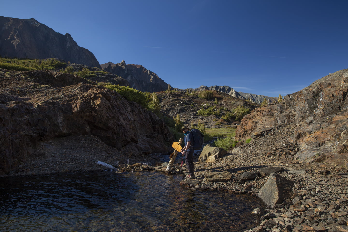
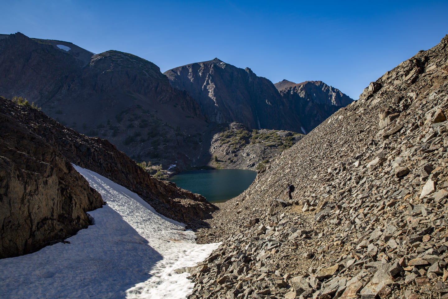
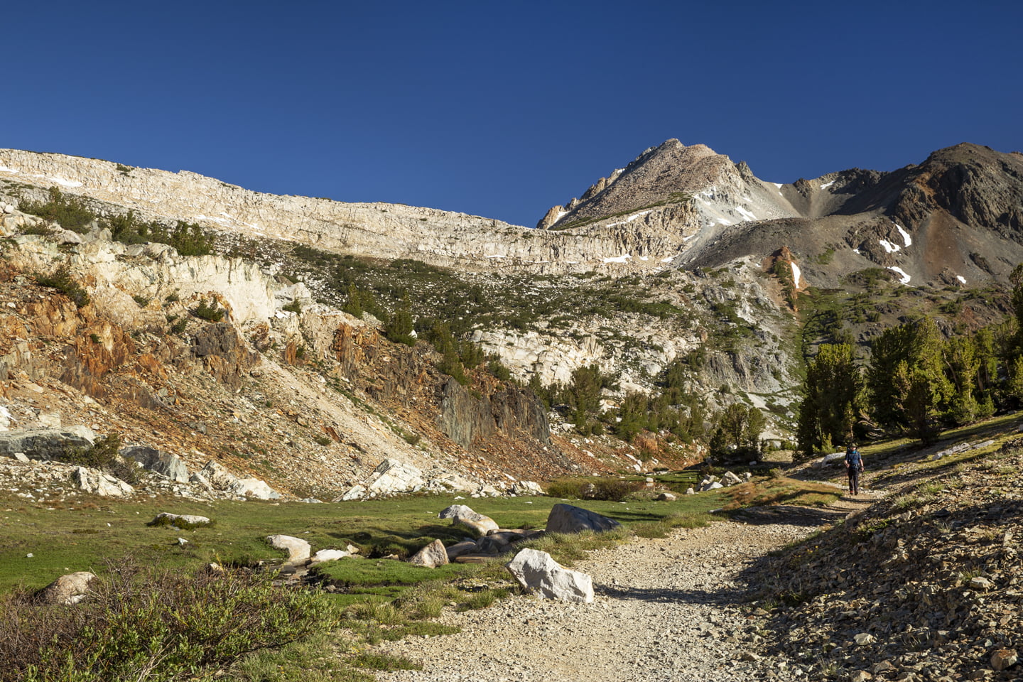
Our next stop was Shamrock Lake, which we reached only after climbing a rocky pass. We did our best to follow the cairns we could see above us, but this was definitely not our favorite part of the hike. However, Shamrock Lake is beautiful and expansive making the slow trek to reach it that much more satisfying.
We had read that Shamrock Lake was a good place to make camp, so we looked around and found a relatively flat site above the lake. Going into this hike, we had anticipated a busy trail and had expected to find other backpackers camped out by the time we arrived around 7:00 p.m. Instead, we were the only ones at Shamrock Lake and had the whole place to ourselves.

We fixed our backpacking meals, set up the tent, and headed to bed.
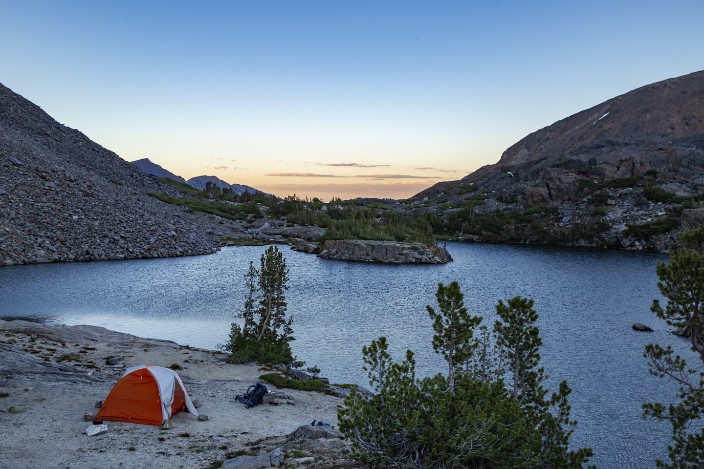
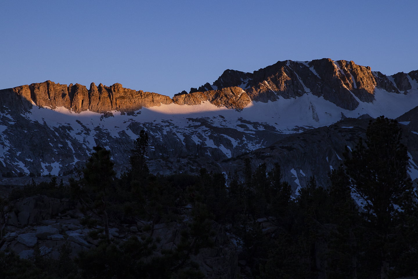
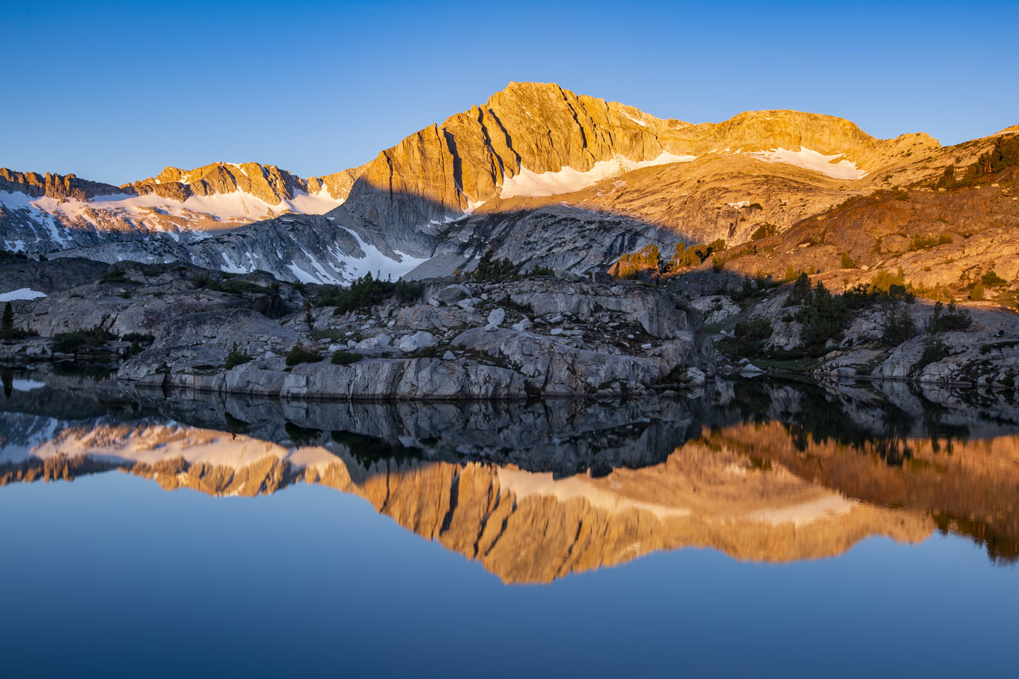
After a restless night of sleep thanks to the cold and wind, we were up at 5:00 a.m. for sunrise. Julie headed back along the trail we had taken the day before a bit to snap some photos while I explored the area near our campsite. Thankfully the wind from the day before had subsided and we were treated to some beautiful alpenglow mountain reflections in Shamrock Lake.
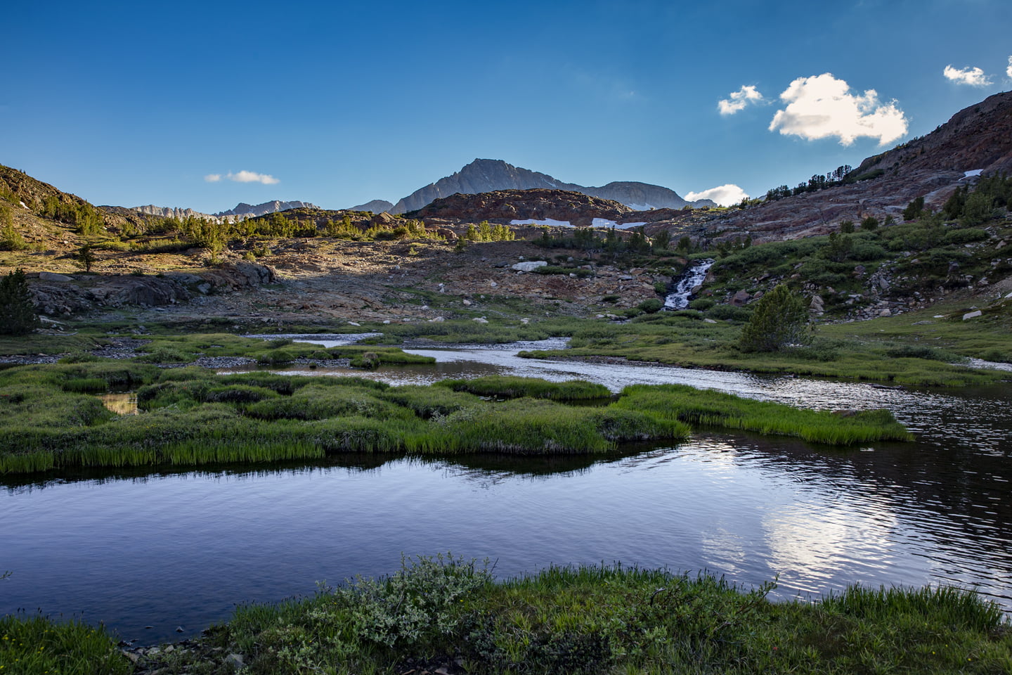
Once Julie was satisfied with her sunrise photos, we packed up camp and continued along the trail which walks through a beautiful, but bug-filled meadow. You can catch reflections of the mountains in the stream on your left.
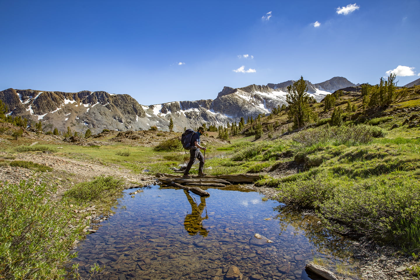
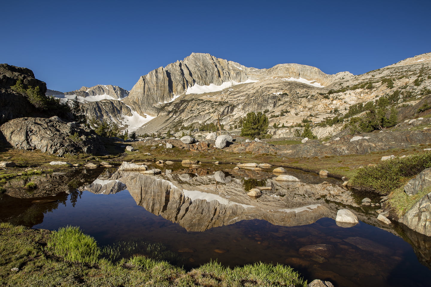
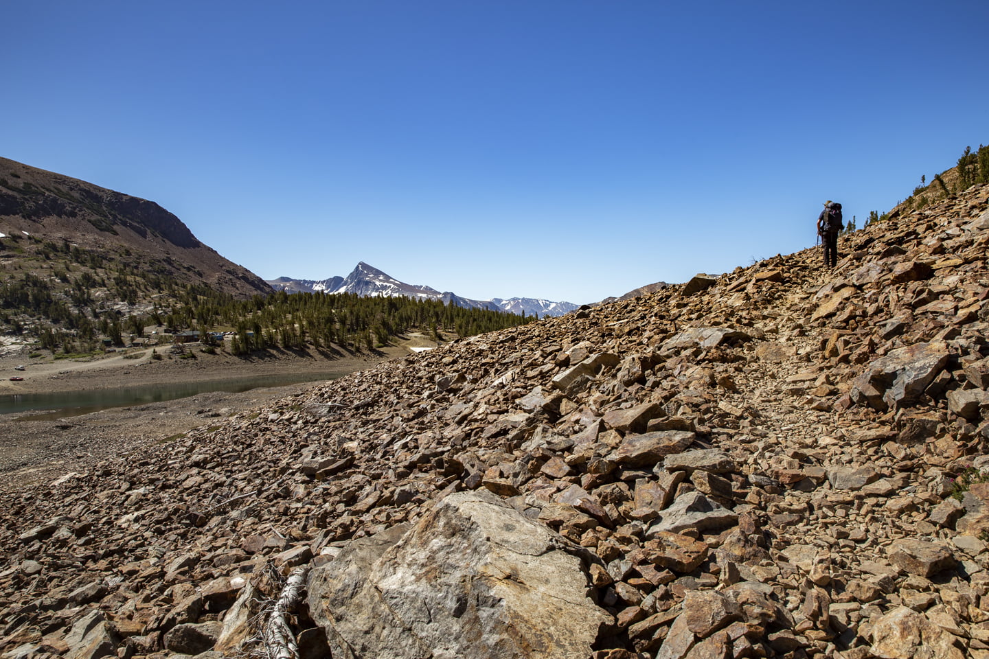
From here we climbed a small pass that still had some lingering snow and then reached a small pond with another great mountain reflection. We initially went the wrong way here, continuing past the pond and catching a view of Steelhead Lake. The true trail goes left at the pond and then descends to a river crossing as the outlet of Steelhead Lake. Once across the river, you’ll see a trailhead sign missing the sign but continue this way and stay to your right at the short junction passing around a small pond.
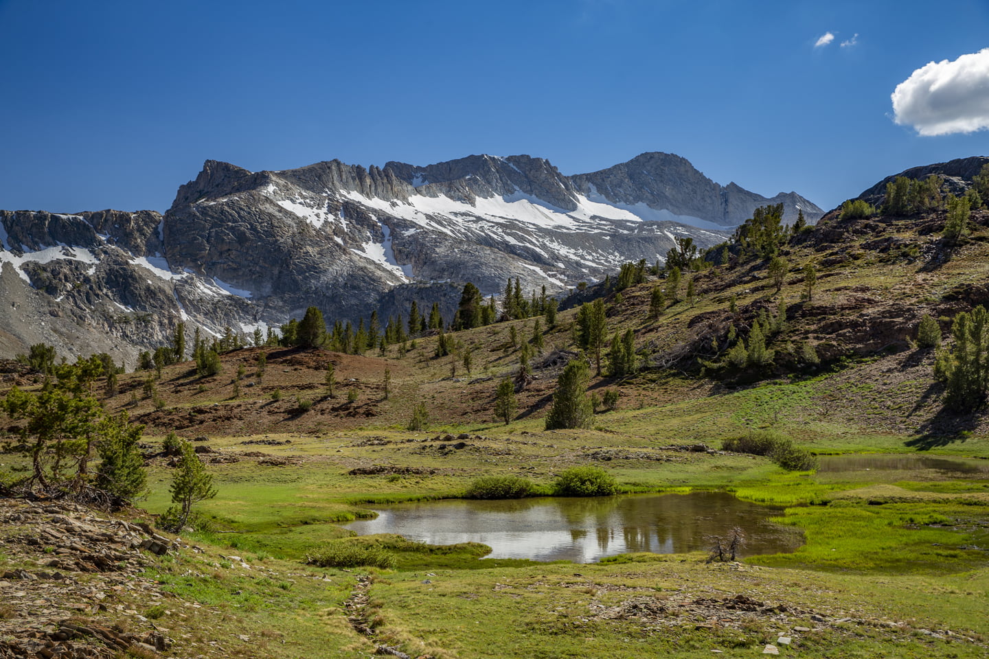
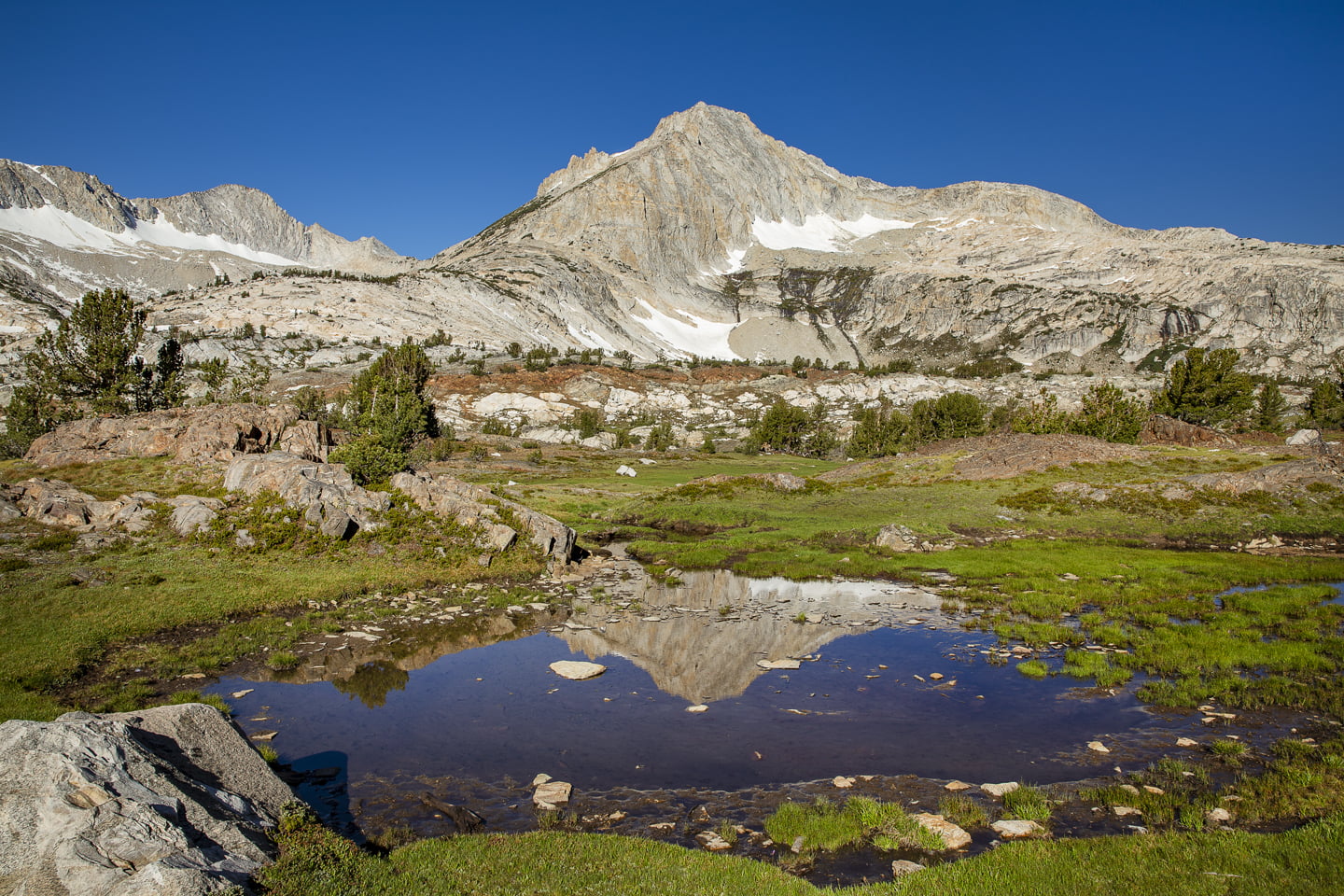
Next, the trail climbs a bit more bringing you back to Steelhead Lake. The peak reflecting here in Steelhead Lake reminded me of Temple Crag and Big Pine Lakes. The view was breathtaking and thanks to our early start, this section of the trail was completely in the shade!

At this point, we were ecstatic to see a flat, double wide trail (which was a former mining road) as we continued walking and staring at the reflections on Steelhead Lake. This was also where we saw other hikers for the first time since we were near Saddlebag Lake the day before.

While Shamrock Lake was beautiful, I thought the views once we reached Steelhead Lake and all the way through Wasco Lake were breathtaking. The subsequent meadows as we approached Greenstone Lake were equally spectacular. However, right as we neared Greenstone Lake we were swarmed by mosquitoes and other flying bugs. It was so bad, we both threw on our headnets and made haste through this section trying not to stop for any reason.


We quickly approached Saddlebag Lake, and after a couple of wrong turns, were on the west side of the lake. As it turns out, this side was as rocky as advertised, but also slightly shorter than the east side.
If you want to complete this hike as a full loop as we did, you can start and end on either side. Julie and I both agreed though that we would forgo the trail around Saddlebag Lake entirely in the future and opt for the Saddlebag Lake Resort Water Taxi.
Final Thoughts on Backpacking 20 Lakes Basin

At the conclusion of our hike, we were happy to be back at the car with a chance to wipe off some of the dirt from the previous 18 hours. We grabbed the food we had left in the bear locker, changed into some clean clothes and headed through Yosemite and back home.
On our hike out, we ran into several hikers who were making the trip as a day-hike. Considering some of the terrain here, we both agreed that a lighter pack, such as that of day-hike would make this a more enjoyable trek.
Overall, the 20 Lakes Basin is extremely beautiful and definitely worthy of a visit! Looking forward to coming back here again soon for some other hikes in this area.
More Eastern Sierra Hikes:
Hiking the Little Lakes Valley
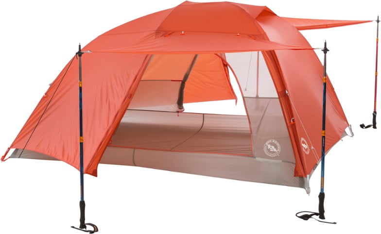
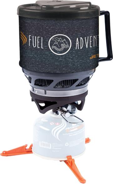
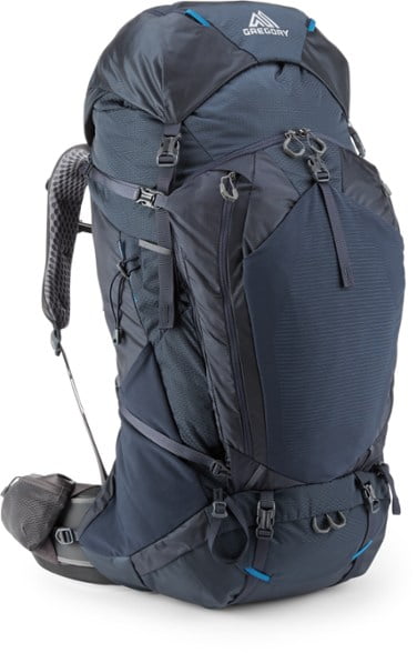
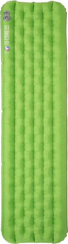
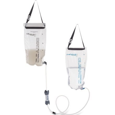
Shop our favorite gear for this adventure:


SAVE THIS POST FOR LATER!
How were the mosquitoes at Shamrock lake? Thank you for the hiking report!
Hi Christopher, the mosquitoes were not bad at all at Shamrock Lake, but it was also fairly windy that day. There was a considerably higher amount of bugs at Greenstone Lake on our hike out. Unless you’re heading out later in the season, it’s always good to carry some bug spray and a bug net, just in case!