
Hiking Maple Pass Loop | North Cascades
Maple Pass Loop| Written by Brian Callender | Photography by Julie Boyd
Hiking Maple Pass: Hike Details
Starting Elevation: 4,857 ft.
Distance: 7.5 miles (hiking counter-clockwise)
Elevation Gain: 2,200
Hike Type: Day-Hike
Difficulty Level: Moderate-Difficult
Food Storage: No bear boxes are provided
Restrooms: Pit toilet at the trailhead.
Cell Service: Limited
Crowd Factor: Very high. This is one of the most popular hikes in North Cascades National Park. Solitude will be unlikely if you’re hiking here during the peak season (Summer — Fall).
Parking: There are about 40 spaces in the official lot, but unless you are there very early, don’t expect to secure one. Overflow parking is along the highway (where we parked) and gets busy as well.
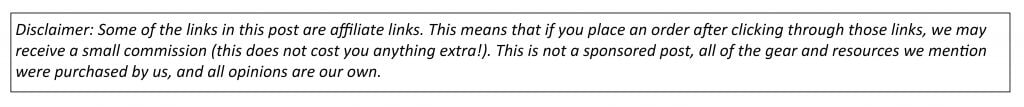
Permit: For most hikes in Washington, you’ll need either a Northwest Forest Pass or if you have a National Park Pass, that works too. Display the pass in your vehicle as there is no official entrance station. No permits are required for day-hiking.
Date Hiked: 9/5/2021

After getting our first taste of Mount Baker and Mount Shuksan, we were excited to visit North Cascades National Park. We had previously been to North Cascades in November a few years back and had been disappointed that the visitor’s center was already closed for the season. Although we didn’t hike on that day, we knew we would return again with an opportunity to get into the mountains. In the research I had done leading up to this trip, Maple Pass stood out as an excellent adventure with stunning views within a comfortable distance. If you’re looking for an introduction to the North Cascades, be sure to put Maple Pass at the top of your list. Bonus points if you can make it there for fall colors!
Getting to the Maple Pass Loop Trailhead
From Seattle, it’s a 3 hour drive north to reach the Maple Pass Loop trailhead. Head north on I-5 and then transfer over to WA-530, before picking up 20E towards Marblemount. Continue on the North Cascades Scenic Highway until you reach the Rainy Pass Trailhead and picnic area.
Hiking Maple Pass Loop

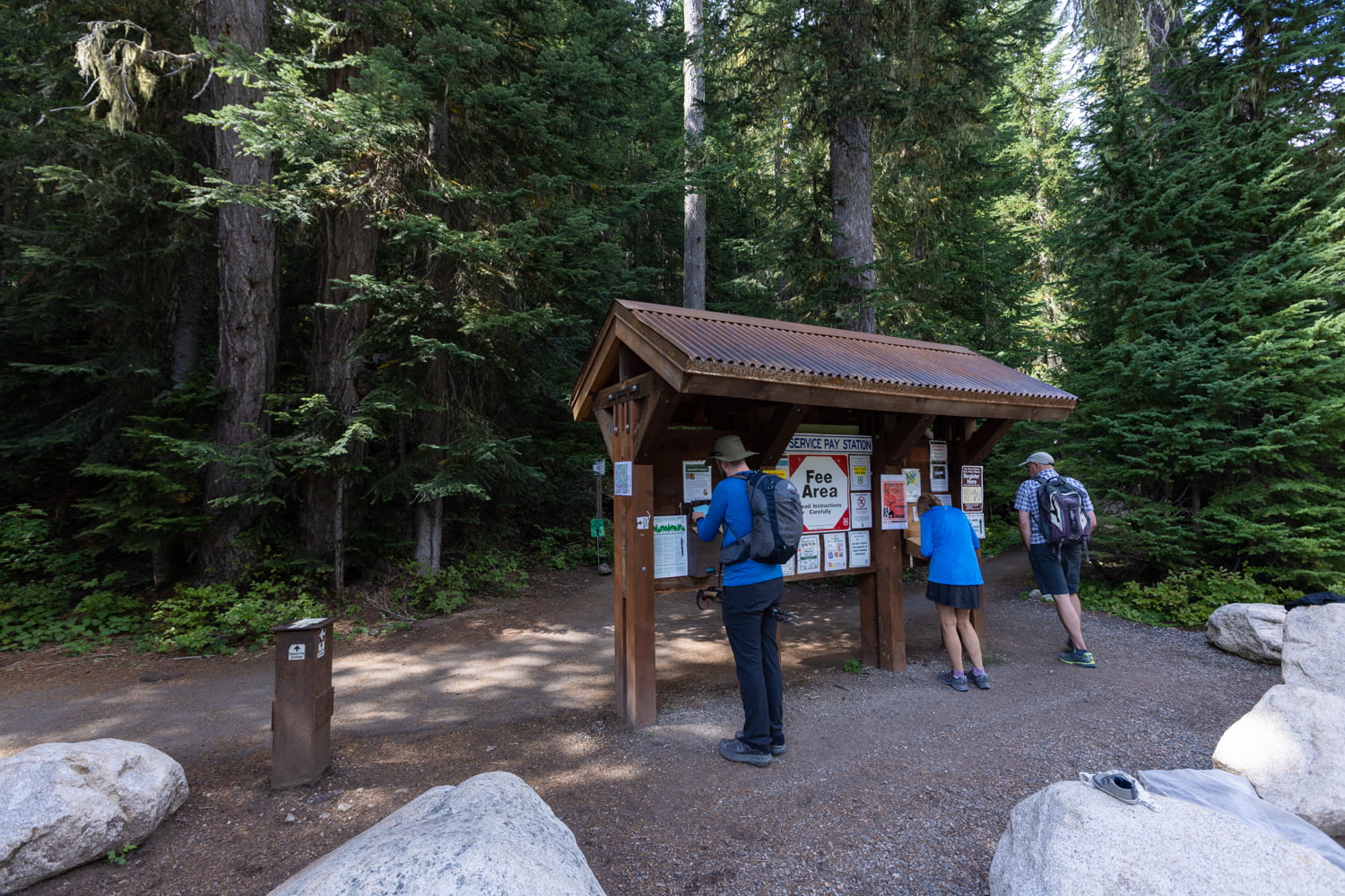
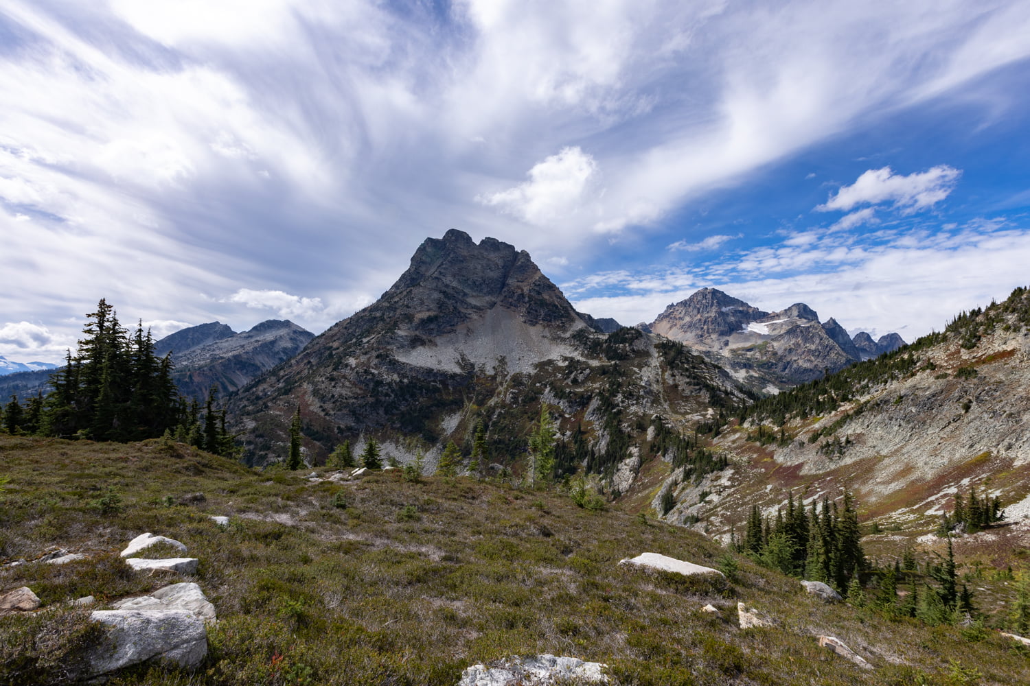
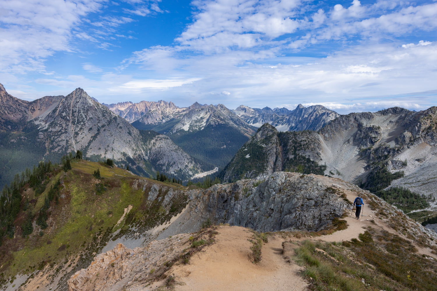
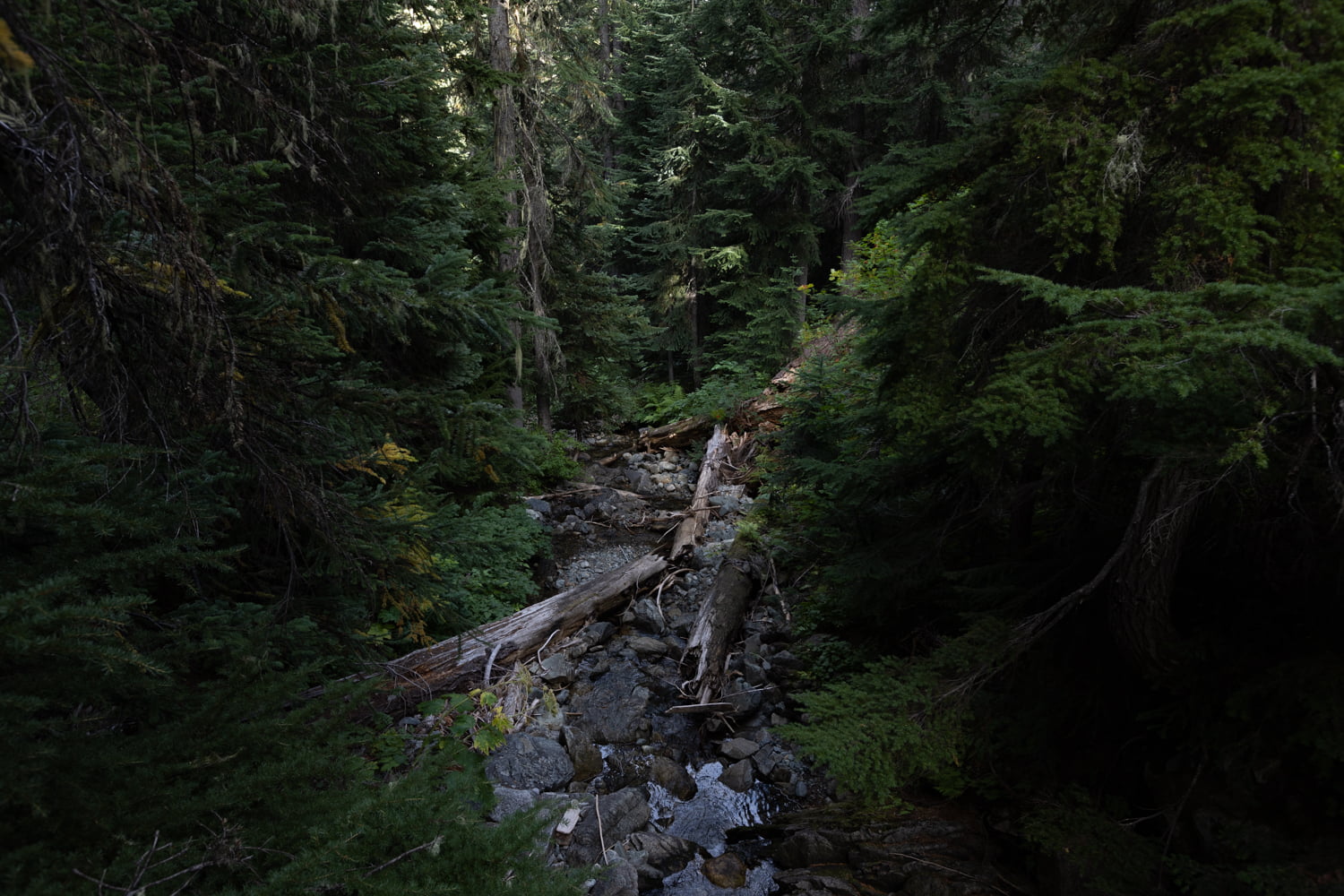
The trail starts off with the option to go either clockwise or counterclockwise. The more popular choice and what we opted for is counterclockwise. You’ll spend the first section of the hike gradually climbing through the forest before popping out for some nice views at 0.85 miles. Enjoy those sweeping picturesque views for the next 0.5 mile or so, as the trail will then tuck back into the forest.

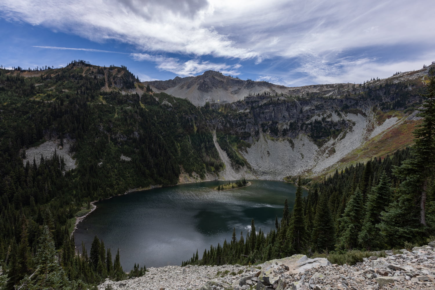
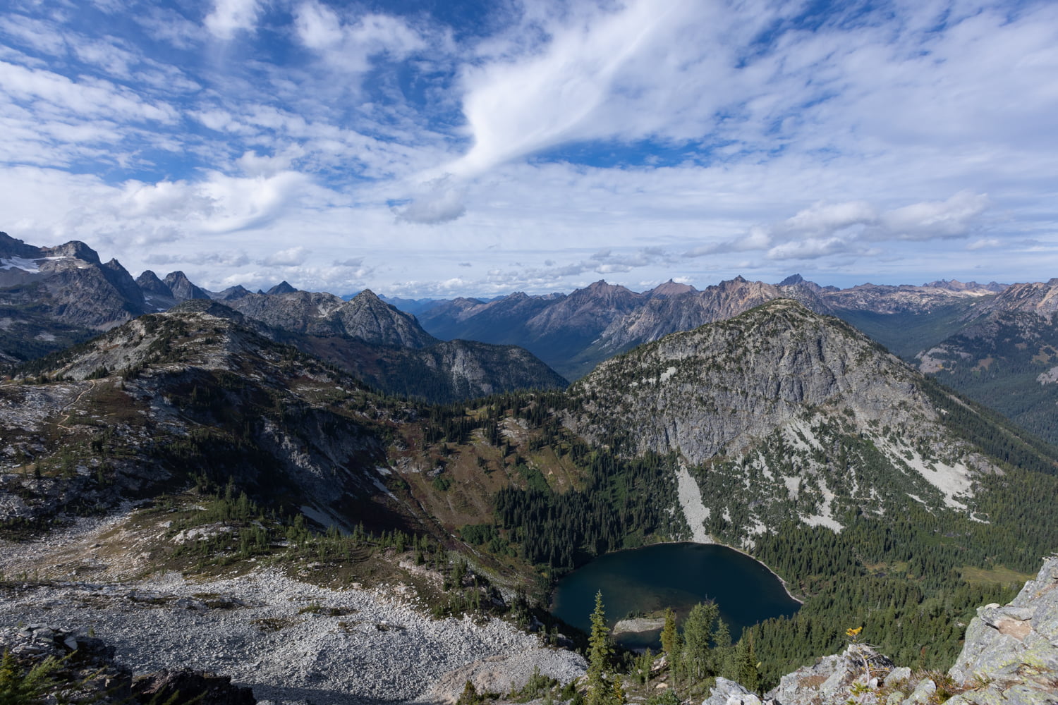
At 1.3 miles, you’ll reach the junction for Lake Ann off to the left. We opted not to go down to the lake, as you will catch a glimpse of it from above at the 1.7 mile mark. The majority of other hikers we saw also opted to skip Lake Ann, so keep that in mind as you decide whether or not to detour.
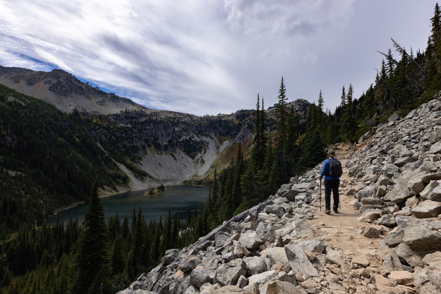
From here, the trail begins to switchback up towards the pass. There will continue to be views of Lake Ann on and off for almost another mile. Eventually the trail opens up to views across of the Cascade Mountains and Lewis Lake at 2.6 miles.
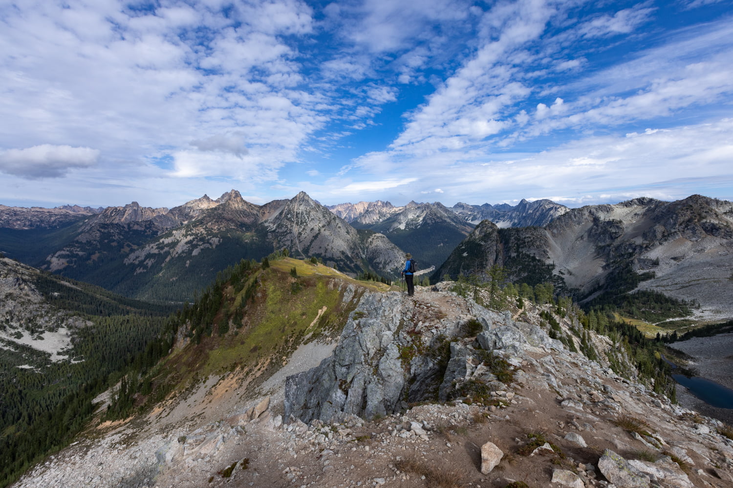
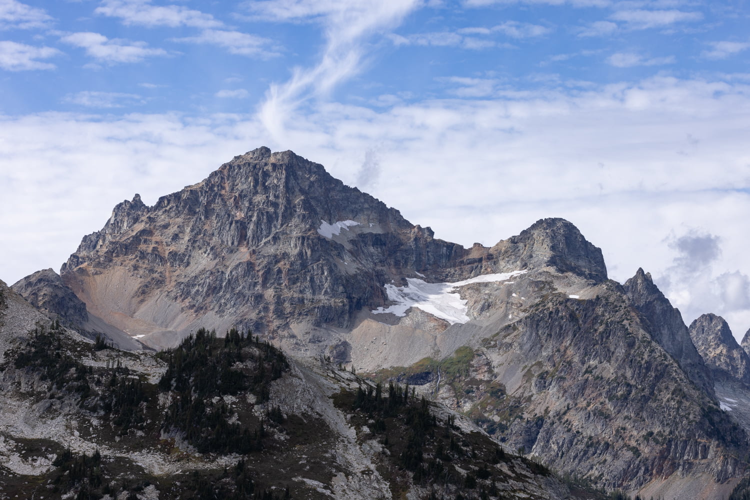
Eventually, after 1700 feet of elevation gain and 3.4 miles we reached the boundary for North Cascades National Park. We took a break here for lunch along the ridge line, and there are plenty of great spots to take in the 365 degree views.
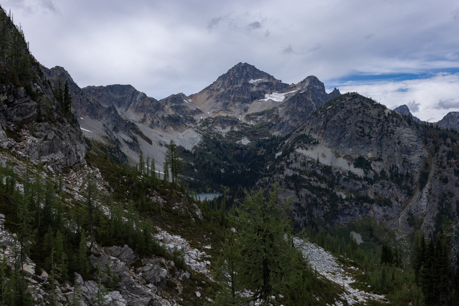
At 4 miles, you will reach the final push to Maple Pass. It’s another 200 feet of elevation gain, and 0.35 miles, 2100 feet overall. Incredible views are an understatement here. If you walk along the ridge, you can see Rainy Lake, Lake Ann and what seems like endless jagged peaks. It’s truly one of the all-time best hikes we’ve ever done.
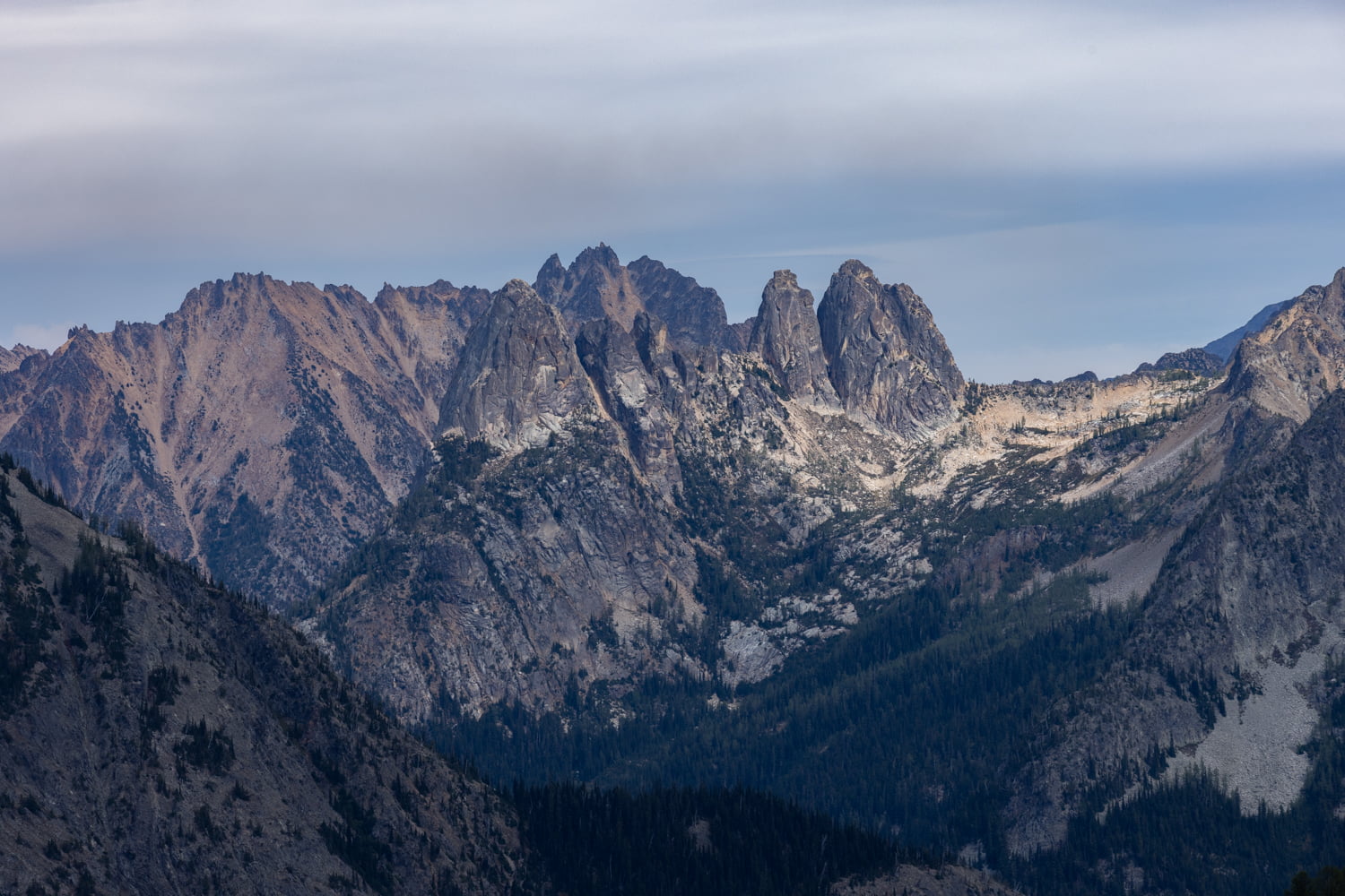

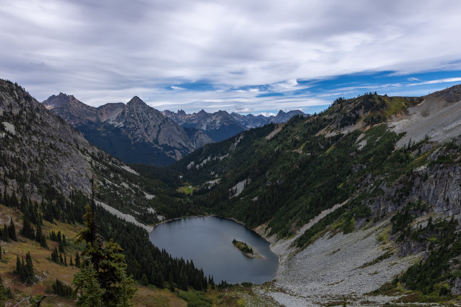
If you’re hiking this as a loop, you will descend down from the pass which switchbacks along an open area. The views are not as spectacular as the first half of the hike, though you do catch glimpses of Rainy Lake. Rocky and steep are the best ways to describe the next section as you continue downhill. There’s a nice overlook down to Rainy Lake at 6.25 miles and a waterfall that feeds the lake. After that point, it’s a seemingly endless parade of rocky switchbacks with plenty of roots ready to trip up tired legs.

At 7.2 miles, we reached the bottom of the trail which thankfully was paved. You’ll want to go left here to head back to the trailhead. Those wishing to extend their hike can turn right for Rainy Lake.
Final Thoughts on Hiking Maple Pass Loop

The Maple Pass Loop is a classic example of a popular hike that more than lives up to the hype. We had perfect conditions on our visit and we can only imagine how much more beautiful this hike is during fall colors. It is not a place where you can expect to find much solitude, so be sure to get an early start or try to visit during the week. Peak season, particularly during the fall, is going to be quite the mess of people, so be prepared.
For the debate surrounding which way to go when doing this hike as a loop, it really depends on what you want your hike to look like. Doing the trek counterclockwise (the more popular option) in our opinion was the way to go. It starts off fairly gradual and you are consistently treated to breathtaking views. For us, we really enjoyed being able to take everything in on the way up and then power back down to the car after hitting the pass. Whichever way you decide to enjoy this hike, you will not be disappointed!
We loved this hike and are very much looking forward to returning in the fall!
More Adventures From Washington
Hiking to the Chain Lakes Loop
Fall Roadtrip through Washington
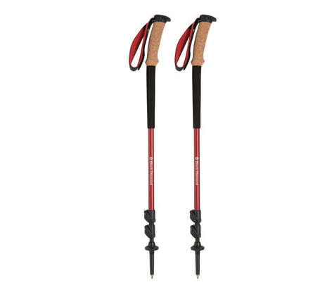
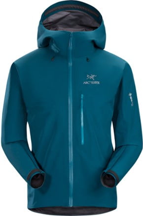
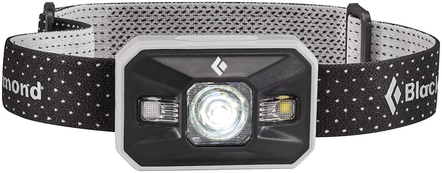
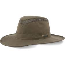
Shop our favorite gear for this adventure


Save this post for later
